
Who opens the ‘dry door’ for amphib assaulters
Share the post "Who opens the ‘dry door’ for amphib assaulters"

If Lieutenant Cody Grice and his team of five sailors do their job well, thousands of battle-ready soldiers will never know – but, they should be grateful, as the geospatial warfare officer may have saved their lives.
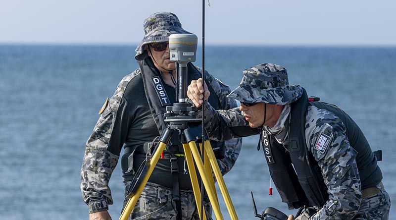
CAPTION: Royal Australian Navy hydrographer Able Seaman Richard Nico (right) and Petty Officer Nicholas Grove set up a tripod-mounted GNSS base station at Banongan beach, Indonesia, during Exercise Keris Woomera 26. Story by Lieutenant Felicity de Fombelle. Photo by Corporal Jack Pearce.
Lieutenant Grice and his team’s role is to identify the ideal location for troops to land on a potentially hostile beach during an amphibious operation.
Precision and timing are critical.
“We need to get our soldiers onto the beach, not in the water,” Lieutenant Grice said.

“We calculate the optimal landing time based on the tide, which we call the ‘dry-door’ window.
“That’s when the landing craft can make it to the edge of the water and drop its door for the soldiers and vehicles to come ashore and execute their mission.”
Lieutenant Grice’s Deployable Geospatial Survey Team (DGST) were embarked in HMAS Choules as part of the Australian Amphibious Force for Exercise Keris Woomera, training with their Indonesian counterparts in East Java.
It was the ADF’s largest overseas training activity for 2026, with about 1000 ADF personnel and more than 1200 members of the Indonesian Armed Forces (Tentara Nasional Indonesia or TNI) doing amphibious landings to secure an area, as well as other combat operations, high-end warfighting and a live-fire exercise.
But before any troops go ashore, the DGST will have gone ahead.
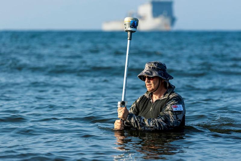
The team surveys the landing site, plotting what is on the seabed, looking for underwater mounds, rocks or wrecks and measuring water depth, currents and tides.
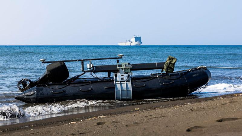
They also search for defensive obstacles and anti-landing measures emplaced by hostile forces.
It is data-driven work, employing a mix of crewed, uncrewed and subsurface systems – a vital, if often overlooked, warfighting capability.
“Our job is to give command a full appraisal of what they are subjecting their forces to,” Lieutenant Grice said.
“Timing is everything.
“Are vehicles going to beach on reefs or get bogged in sandbars and become targets?
“Think of the water damage for brakes, components, belts.
“Think of the soldiers disembarking in waist-deep water, carrying heavy packs and maybe falling over or dropping things, and all their equipment and weapons getting wet and salty.”
Mastering tides and beach gradients to provide command with ‘access assurance’ for a safe and effective landing is a role Lieutenant Grice relishes.
“We might be overlooked by most of the force because, as long as we do our job properly, they’ll never know we exist” he said.
“That’s okay. We’ll just keep putting sound into the water.
“We shoot sound at the seabed and it comes back, that’s how we measure it.
“The one person who will never overlook us is the commander of the Amphibious Force.”
.
.

.
.


